Advanced Technology for Accurate Results
We use top-tier tools like Trimble systems and LiDAR sensors to capture data with unmatched precision. From rugged terrains to densely vegetated areas, our technology ensures reliable insights every time.
At Hector Tractor LLC, we specialize in delivering top-quality excavation, land clearing, and earthworks services throughout Southwest Florida. Our experienced team ensures reliable results for every project.
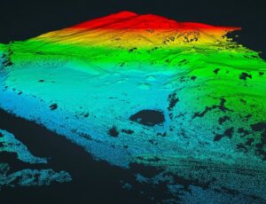
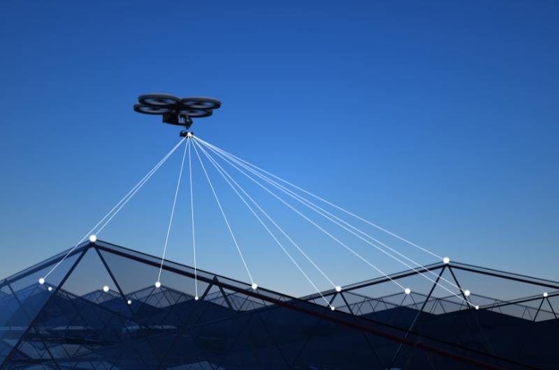
LiDAR technology delivers unparalleled accuracy in creating detailed terrain models. By emitting laser pulses and capturing precise measurements, we provide high-resolution maps that reveal even the most subtle variations in elevation, ideal for planning and analysis.
Our LiDAR services are versatile, supporting industries such as construction, agriculture, and mining. Whether you need to assess land for development, monitor crop health, or analyze mineral-rich areas, LiDAR ensures reliable and actionable data.
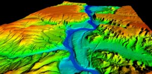
Accurate elevation models are critical for effective project planning and execution. Our Digital Terrain Models (DTM) provide precise representations of the Earth’s surface, free from vegetation and man-made structures, giving you a clear foundation for your designs and decisions.
Our advanced drones equipped with cutting-edge sensors generate highly accurate Digital Terrain Models (DTM). By removing surface obstructions like vegetation and structures, we deliver clear, precise elevation data to support your project’s needs with confidence.
Digital Terrain Models (DTM) streamline project planning by providing a reliable foundation for design and analysis. Whether you’re planning infrastructure, construction, or environmental projects, DTMs reduce errors, improve efficiency, and save valuable time.
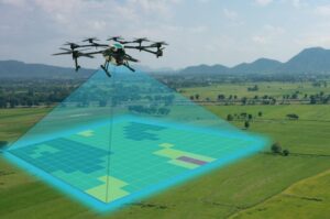
Our planimetric mapping services provide precise, detailed representations of surface features. By capturing accurate horizontal dimensions, we help you understand and analyze the spatial relationships of natural and man-made features critical to your projects.
Detailed Surface Feature Representation
Using advanced drone technology and sensors, we accurately capture and represent planimetric features such as roads, buildings, vegetation, and utility lines. These maps offer a clear, horizontal view of surface elements, essential for effective planning and design.
Planimetric maps integrate seamlessly with Geographic Information Systems (GIS), enabling advanced spatial analysis and decision-making. This integration enhances asset management, infrastructure planning, and environmental studies by providing actionable geospatial data.
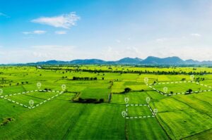
Our professional surveying services deliver precision and accuracy for a wide range of projects. Whether you need boundary definitions or precise measurements for construction, we ensure reliable results that support your goals.
Define your property lines and land boundaries with confidence. Our drone-enabled land surveys provide accurate measurements and detailed maps to ensure compliance and clarity in property management and development.
Ensure every phase of your construction project aligns with precise specifications. Our construction stakeout services mark critical points and boundaries, helping you execute your plans with accuracy and efficiency, reducing costly errors and delays.
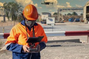
Our versatile drone services deliver innovative solutions for capturing high-quality visuals and conducting detailed inspections. With cutting-edge technology, we provide the tools you need to visualize, monitor, and assess your projects effectively.
Capture breathtaking aerial imagery and videos with unmatched clarity. Our drones are equipped with advanced cameras, ideal for marketing, real estate, event documentation, or any project requiring stunning visuals from above.
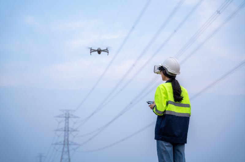
Safeguard your infrastructure with precise aerial inspections. From bridges to power lines, our drones offer detailed assessments, identifying potential issues quickly and safely, minimizing downtime and maximizing operational efficiency.
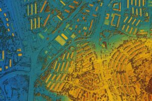
Taking control of your projects starts with understanding the land you’re working with. Our GIS mapping and drone inspections go beyond standard solutions, giving you the precise geospatial insights you need to plan, manage, and execute with confidence.
Every successful project starts with reliable data. Our drones collect geospatial information with precision, helping you map terrains, monitor environmental changes, or plan urban spaces. No guesswork—just the actionable details your project demands.
Managing assets doesn’t have to be a headache. With GIS integration, we help you keep track of your infrastructure—whether it’s pipelines, roads, or utilities. Stay ahead of potential issues and make informed decisions to protect what matters most.

Success in civil engineering begins with precise planning and constant oversight. Our drone-powered services provide the critical data and monitoring you need to keep your projects on track and your decisions informed.
Make informed decisions from the start. Our drones deliver accurate site analyses, including terrain mapping, environmental assessments, and land surveys. Whether you’re planning infrastructure or urban developments, we provide the clarity you need to build with confidence.
Stay in control of your project’s progress with real-time updates. Our drones track construction milestones, document key stages, and identify potential delays or issues early. Save time, reduce costs, and ensure every phase meets your expectations.

Transform your visuals with stunning drone photography. Our services deliver high-resolution images that bring a unique perspective to your projects, whether for marketing, real estate, or creative endeavors.
h4>
High-Resolution Imagery
Capture every detail with precision. Our drones are equipped with advanced cameras to deliver sharp, high-resolution imagery, perfect for documenting landscapes, construction sites, or promotional materials.
Stand out from the competition with breathtaking aerial views. Whether showcasing properties or creating impactful marketing campaigns, our drone photography highlights your projects like never before.
We’re here to help with all your land needs. From excavation to landscape design, get in touch for a personalized quote and start your project today.
We use top-tier tools like Trimble systems and LiDAR sensors to capture data with unmatched precision. From rugged terrains to densely vegetated areas, our technology ensures reliable insights every time.

No two projects are the same. That’s why we tailor our approach to fit your specific needs, ensuring that every detail aligns with your goals.
We’re committed to providing data you can trust without cutting corners. Our workflows prioritize safety and quality at every step, so you get the best results without compromise.
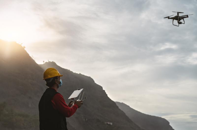
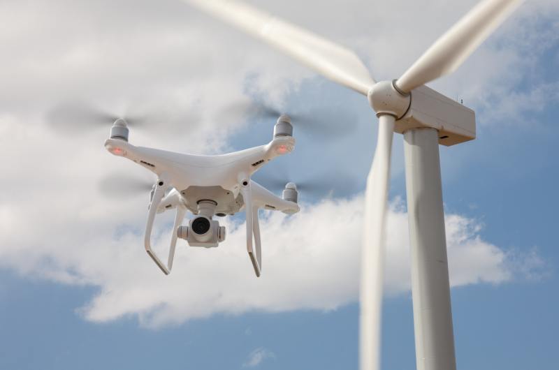
By leveraging drones, we reduce project timelines and minimize costs, all while delivering the level of accuracy your project demands.
Captured from above, our drone technology showcases the precision and detail in ongoing excavation projects in Bonita Springs. With high-resolution aerial photography and videography, we provide real-time visual data that enhances project monitoring, ensuring accuracy and efficiency at every stage. Our drone services deliver a comprehensive view that helps clients make informed decisions, saving time and reducing costs.
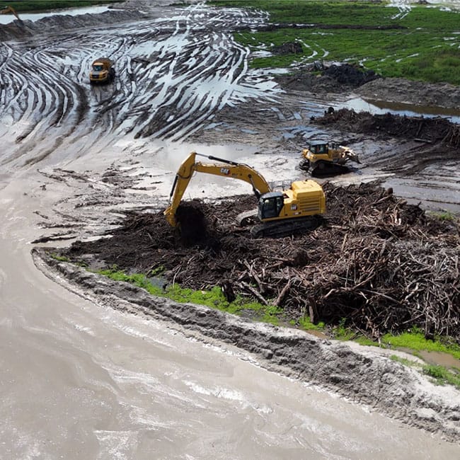
We ensure safe and efficient site preparation through professional land clearing and excavation services, paving the way for successful projects in Southwest Florida.
We’re here to help with all your land needs. From excavation to landscape design, get in touch for a personalized quote and start your project today.

From start to finish, the communication was excellent. The team delivered exactly what we needed for our construction site. Five stars!
Paul R., Bonita Springs

The land clearing team was professional and efficient. They transformed our property in no time.
Sarah L., Fort Myers

Hector Tractor LLC exceeded our expectations! Their excavation work was flawless, and the project was completed on time. We highly recommend them
Pitter Holugarden
Drone surveying is perfect for projects that require precise data, including construction planning, land development, environmental monitoring, and infrastructure management. If accuracy and efficiency are priorities, drone surveying is the solution.
We use advanced tools like Trimble systems and LiDAR sensors to ensure precision down to a few centimeters. Our surveys provide reliable data for even the most demanding projects.
Yes, drones significantly reduce surveying time. They cover large areas quickly and deliver accurate results, helping you save both time and resources without compromising quality.
We offer a comprehensive range of services, including topographic mapping, LiDAR data collection, boundary surveys, GIS mapping, and construction stakeouts. Everything is tailored to meet your project’s needs.
Yes, we provide services across the entire state of Florida, with a special focus on the southern regions, including Naples, Fort Myers, Bonita Springs, Cape Coral, Lehigh Acres, and surrounding areas. Contact us to confirm availability for your specific location.
Getting started is easy. Contact us to discuss your project, and we’ll provide a personalized solution with a clear timeline and quote.
Ready to take your project to the next level? Our team is here to provide precision-driven surveying solutions tailored to your needs. Whether it’s topographic mapping, construction planning, or asset management, we deliver reliable results backed by advanced technology and expertise.
Ready to take your project to the next level? Our team is here to provide precision-driven surveying solutions tailored to your needs. Whether it’s topographic mapping, construction planning, or asset management, we deliver reliable results backed by advanced technology and expertise.